
Casavant Nature Area
Winooski,
Vermont
Overview
The Casavant Nature Area is a small park along the Winooski River featuring the Winooski Nature Trail, sometimes referred to as the Casavant Nature Trail. The trail is about a mile in length one way, with a trailhead at either end. The northern section of the trail traverses through a wooded area next to some marshes and eventually trends south and then follows the Winooski river west. The trail then heads north to the trailhead next to Meadow Field. Alternatively, you can follow the river further west and connect into the Winooski River Walk, and one can take surface streets back to the original trailhead to make it a loop.
Directions
Parking
Trip Reports
Since arriving in Vermont, it had been raining on and off, and I decided to take advantage of a break in the rain to get a little exercise. Looking around the area on Google Maps, I noticed the Casavant Nature Area with Winooski Nature Trail and decided to give that a whirl.
The trailhead was situated next to a small parking lot right off of East Allen Street, and had an aerial photo of the Casavant Nature Area along with the trail. It looked like a pretty short and straightforward hike, perfect for a before work outing on a rainy day.
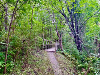
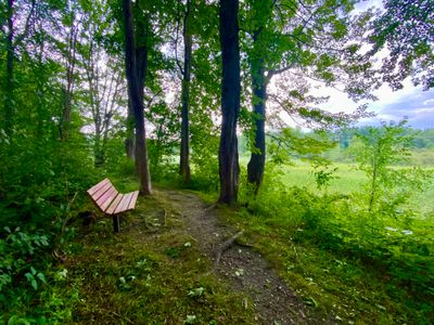
From the parking lot, the trail descended through the forest and had a wooden bridge to cross a small stream. The hum of the nearby roads were ever present and after a bit of hiking I passed a bench overlooking a swamp area. My hike had barely begun, so I wasn't looking to take a break, and there were a fair number of mosquitos anxiously waiting for me to stop...
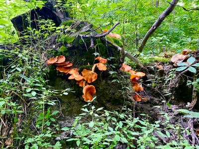
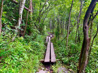
Continuing along the trail, I passed a stump with a cool looking cluster of bright orange mushrooms. The trail passed through some muddy areas, but fortunately there were wooden planks in most spots. Given the amount of rain Vermont had been receiving this summer, the trail was in relatively good shape. There were occasional muddy patches to hike through, but I was able to mostly step around the mud when the wooden planks were not present.
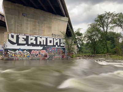
The trail proceeded down to the bank of the Winooski River and I followed a side trail underneath the elevated Interstate 89. The map at the trailhead didn't show any trail on this side of the interstate, although online it looked like there was a trail. I was short on time, and there didn't seem to be much of a defined trail, so I turned around and followed the trail west along the river.
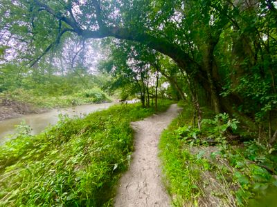
The trail became much wider, and looked like it might have been an old road at some point. It had started to rain, but the thick tree canopy was providing fairly good shelter. The trail split as I neared Meadow Point, and I decided to keep heading along the river to reach the Winooski River Walk trail.
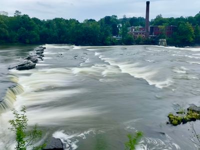
I exited the forest and crossed a small pedestrian bridge, now on a paved path which I believe was the start of the Winooski River Walk. This section of the river was very pretty, with a series of small cascades and old brick buildings across the river. I have been through this area many times in the distant past while attending the University of Vermont, but don't recall stopping to enjoy the beauty of the river and surroundings.
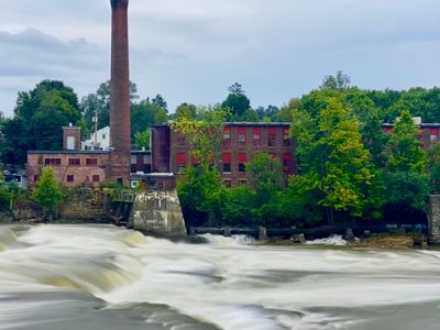
The rain let up as I walked along the Winooski River Walk, and upon reaching Waterworks restaurant, I decided to head back to the car. I didn't feel like retracing my steps on the trail, so I made the short walk back via a couple of side streets.
It was nice to get out for a nearby quick hike. The trail was in good shape considering all the rain, but it's probably not a hike I would do again. The most scenic part in my opinion was farther down along the river while on the Winooski River Walk.
