
Lower Mad River
Entiat,
Washington
Overview
The Lower Mad River Trail meanders along the Mad River for over 15 miles, providing a mix of scenic river views, dense forests, and open meadows. This trail is a favorite among hikers, mountain bikers, and horseback riders due to its moderate elevation changes and diverse terrain. Most hikers stick to the first 3 miles of the trail which is very gradual. After 3 miles, a small series of switchbacks brings the trail a couple of hundred feet above the river for a mile before it descends back down towards the river, following the river up in elevation as it contiues up the valley.
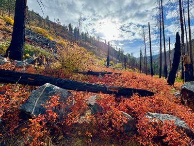
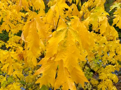
The trail begins at the Pine Flats Campground and follows the river closely, gradually climbing through a forested landscape of towering pines, Douglas firs, and lush undergrowth. Along the way, hikers will encounter an amazing variety of wildflowers in spring and early summer, and the trail provides splendid fall colors, with showy displays of the bright yellow Bigleaf Maple and red colored shrubs throughout the hike.
Directions
Parking
Trip Reports
My son had a soccer game in Entiat, and we planned to go camping at Silver Falls after the game with a hike to Silver Falls the following morning. Before making our way to the campsite, I wanted to get a hike in with my parents and was looking for an option a little closer than some of the trails deep in the Entiat Valley. The Mad River Trail looked perfect, gradually following the river through a scenic valley.
The trail parallels the river, never going more than a hundred yards away from the bank, at least during the first 1.5 miles we hiked. There were ample opportunities to get down to the river bank for photos, or just to take a break next to the river. We actually saw a couple of folks panning for gold about a mile in.
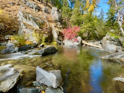
The weather forecast had been a bit iffy, with clouds and a chance for rain; however we were fortunate to have the weather cooperate with sunny skies to start the hike, and while clouds came in during the second half of the hike, we never had any rain.
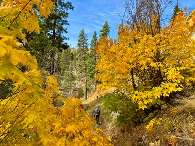
Just like the drive in along Pine Flats Campground Forest Service Road , there was a lot of color during the hike. I don't recall ever seeing so many Bigleaf Maples, and there were numerous other types of plants showing different colors. While these fall colors certainly don't compare to what I saw growing up in Vermont, it's the best non-larch show of colors I have seen in the Cascades (granted, I haven't done a ton of fall hiking outside of the central western slopes of the Cascades). My wife said she preferred this hike to our last outing to view the larches at Cutthroat Lake in the North Cascades.
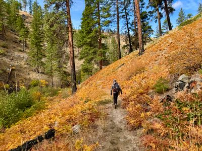
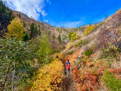
We encountered a couple of hunters exiting the trail, and they mentioned they had seen some deer, but all were too small to go after. Outside of the two people panning for gold, we only saw two other hikers. There was some horse poop on the trail that didn't look too old, but we didn't see any signs of mountain bikes or motorbikes and it was a peaceful hike along the river.
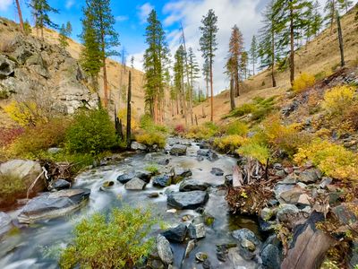
There was evidence of a large fire at some point, with numerous ponderosa pines showing the tell tale burn marks. However, the fire must have been a while ago as a lot of the vegetation has grown back, especially close to the river.
At mile and a half, we decided to turn around - there was a small campsite and fire pit next to the river where we stopped for a snack and water. I could have definitely hiked for longer, as it's a beautiful valley and very peaceful with the sound of the river. But my son was tired from his soccer game in the morning, and my wife was anxious to get to the campground, find a site, set up camp and get a campfire going.
We had a nice hike back along the trail and didn't run into anyone else. Although the clouds came in, the rain held off. I was very impressed with the trail and the hike. Looking forward to coming back in the spring for some wildflower viewing. This area would be the perfect place to spend the weekend, camping at Pine Flats Campground and hiking along the Mad River!
