Ship Canal Trail
Seattle,
Washington
Overview
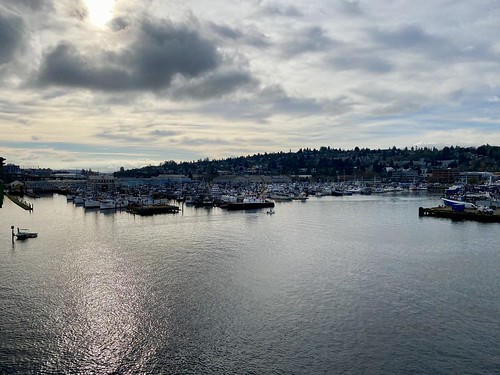
This paved trail is on the south side of the Lake Washington Ship Canal and makes its way through a semi-industrial area as well as along the shore through a greenspace which isn't a park, but sure feels like it. You will have views of both the Ballard and Fremont Bridges, and the trail can be connected with the Burke Gilman on the north side of the Ship Canal to form a loop.
Directions
Parking
Trip Reports
The first really sunny day in a while and my wife and I were looking to get out somewhere for a walk. We landed on the Ship Canal Trail. I’ve ridden my bike on it a number of times, but don’t know that I have ever walked the trail. We decided to walk the Ship Canal Trail from Ballard to Fremont, and then hop on over to the Burke Gilman to come back, making a nice loop of the Ship Canal.
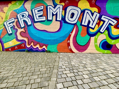
We parked at the Fisherman’s terminal, crossed the road and were on our way on the Ship Canal Trail, observing some cool murals as we walked under the Ballard Bridge.


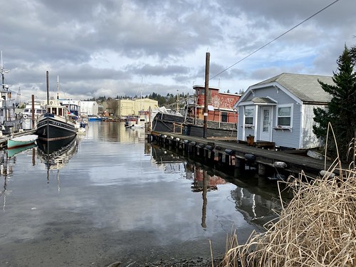
The next part of the walk cuts through an industrial area and isn’t particularly interesting. But it was a nice day out, and there weren’t many people on the trail, so it was enjoyable. After a spell, we started to catch views of the Ship Canal. I noticed what looked like houseboats, and sure enough there was a mail man stuffing mail into a mail box - never realized there were houseboats on the ship canal.

Eventually you leave the industrial/maritime area, and pass by the West Ewing Mini Park, which is currently all torn up as the city works on the Ship Canal Water Quality Project. There appears to be a nice park between the trail and the shoreline all the way to the Fremont Bridge, but I couldn’t find any information online on the name of the park, or if it’s not a park, what is it? Anyways, there were a number of benches and grassy areas along the way.

As we neared the Fremont Bridge, we saw it start to open and a tug boat came through. I scrambled down towards the water and found a place to stand and snap a couple of photos. Then we got of the trail via a ramp and walked up to the Fremont Bridge, commenting on the changes to this area over the years with Ponti Seafood Grill, Bookbinder’s Restaurant and Nickerson Street Saloon all a distant memory

After walking across the Fremont Bridge, we descended the stairs onto the Burke Gilman trail. We immediately noticed how much busier the Burke Gilman is compared to the Ship Canal trail. Nonetheless, it was a nice stroll on the Burke Gilman. For nostalgia's sake, we headed down to the viewing platform in the Fremont Canal Park. When my son was much younger, he would wake up around 5am and I would take care of him until I started work. When the weather was right, I would put him in our jogger and jog down to this platform, where we would hang out, watch the water fowl and throw pine cones in the water.


Continuing along we passed more work being done for the Ship Canal Water Quality Project. The fenced off area provided a venue for local artists, and we saw a woman hanging yarn weavings on the fence, as well as a head scratching sign.


We then cruised along the Burke Gilman trail, breaking off to ascend stairs onto the Ballard Bridge, make our way across and head back to the car. I typically ride my bike on the Ballard Bridge and it’s nice to walk, as trying to pass someone on a bike on the narrow pedestrian path on the bridge is rather tricky.

This was a great loop, covering a decent amount of mileage and providing some scenery along the way. Got to walk on two different trails, cross two bridges and take in the sights and sounds of the Ship Canal.
