
Silver Falls
Entiat,
Washington
Overview
The Silver Falls Hike in the Entiat Valley is a scenic and accessible trail that offers stunning views of a cascading waterfall surrounded by lush forest. The hike is relatively short, clocking in at 1.7 miles round trip, making it suitable for hikers of all levels, including families. The trail meanders through a shaded, dense canopy of Douglas fir, cedar, and pine trees, offering a peaceful and serene atmosphere. As you approach the waterfall, you'll hear the thunderous roar of the water plunging 141 feet over the rocky cliff into the abyss below. There are several viewpoints along the trail, giving you different perspectives of the falls. The most popular viewpoint offers a close-up view of the water as it crashes down, surrounded by moss-covered rocks and vibrant green vegetation and you can even stand behind the waterfall.
From the trailhead, cross the road and begin hiking up the side of the mountain. Within a quarter mile the trail splits into a loop. Heading left will take you on a couple of large switchbacks before depositing you at the top of the falls, where you will cross the creek via a bridge and then get up close to the falls on the way down. Heading right you will cross the creek and then climb up a mixture of stairs and trails to reach the view points of the falls, and then proceed on a couple of switchbacks through the forest to reach the top of the loop. If you have doubts that you can complete the full hike, head right (counter clockwise) to get the best views of the falls in the early part of the hike.
Directions
Parking
Trip Reports
After a fun night camping with the family at Silver Falls Campground, we braved the cool fall morning, packed up our gear and drove the very short distance to the Silver Falls Trailhead. I hadn't done much research on the hike, just knew that it was relatively short and had a nice waterfall to view. There was one other car at the trailhead, but they appeared to be hunters stopping for a quick restroom break. Eager to warm up, we crossed the road and started the hike.
We followed the trail through the forest as it gradually progressed up the mountain, using a bridge to cross over the creek. It was a nice, well kept trail, parts of which had a rock steps built in. The lower section of the trail wasn't particularly steep, but we were warmed up quickly as the shiver inducing morning cold left us.
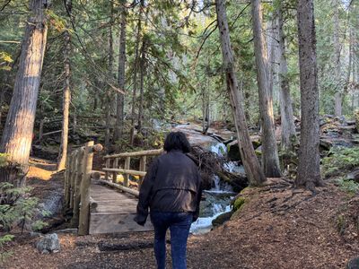
My son took off ahead of us, occasionally slowing down to make sure he could still see us. We had a bit of an argument in the morning over his lack of help packing up the camping gear, and he seemed intent on keeping ahead of us - at least that meant no repeated questioning about "When are we going to see the falls"! I noticed the trail split and my son had headed left, so I didn't have time to consider which direction we should go.
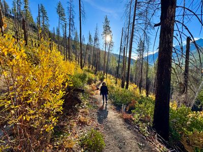
As we exited the forest and followed the trail up the side of the mountain, I became a little concerned that we were heading quite a ways away from the creek and waterfall, and started second guessing the decision to head this way. I hadn't really done any research on the trail, and prior to the hike didn't realize part of it was a loop. As the trail split lower down, I assumed it was a loop, but now wasn't so sure. Eventually the trail switchbacked towards the direction of the creek and my concerns were allayed.
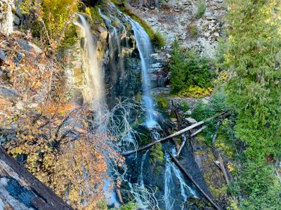
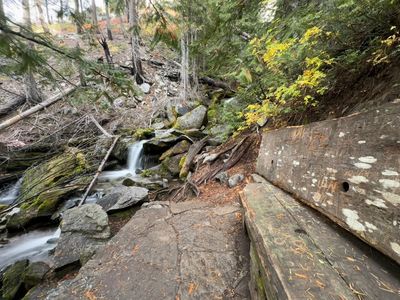
At the next switchback we caught our first view of Silver Falls. It was only a partial view of the falls, but pretty nonetheless, with some fall color in the trees near the falls. Across the valley, higher up on the mountains, we could see patches of golden larches. I'm excited to come back here next fall and try some of the longer hikes at the end of the valley which get up into larch country.
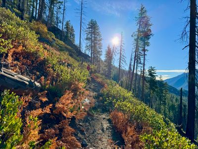
The trail had one more switchback and then it was the final push up towards the top. While it is a short trail, there is definitely some elevation gain involved. The last section had a series of rock steps built into the side of the mountain, which according to my wife seemed to ascend forever. Finally, we reached the top, and crossed over the bridge and started to descend.
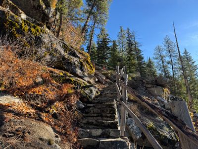
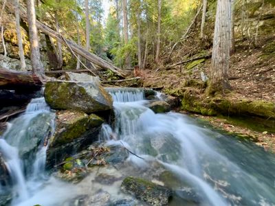
Much like the section we had just ascended, this part of the trail had stone steps heading down that lead into a couple of switchbacks. The final switchback then leads right to the coolest view of Silver Falls by far, with a short side trail actually going behind the waterfall. My son forgot all about the tribulations of the morning and as he exclaimed how much he liked this hike!
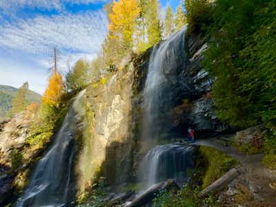
We took turns going behind the falls, and snapped lots of photos. This part of the hike is sure to bring joy to any kid, and even adults at that. If you have small kids and the full hike might be too much for them, I would still highly recommend taking them up to this section of the waterfall, just hike the loop counterclockwise. We continued down the trail, and stopped by another side trail to snap some more photos of a lower section of Silver Falls.
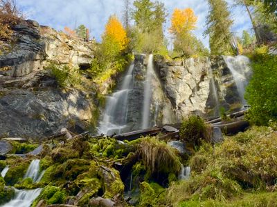
With far too many pictures of Silver Falls, we kept hiking down. There were a number of wooden benches along the way, perfect place to rest if you happen to be hiking up this section, rather than coming down. I personally like that we did the hike clockwise and got to see the best views of the falls at the end of the hike, rather than at the beginning.
We finished up the hike and crossed the road back to the car. We didn't see a single other person on the trail, something that I expect is highly unlikely in the summer. It's a great hike, with awesome views of Silver Falls, and there were some decent fall colors as well. Our third and final hike in the Entiat Valley for the weekend was a winner!
