
Silver Falls Interpretive Trail
Entiat,
Washington
Overview
The Silver Falls Interpretive Trail is tucked away in the Silver Falls Campground in the Entiat Valley, and provides for an easy, family-friendly 1 mile hike along the Entiat River, with numerous interpretive signs interpretive signs provide insights into the area's natural history, geology, and the local ecosystem, enriching the hiking experience with some added educational value. The trail consists of a half mile loop, with another section of the trail branching off at the end of the loop and continuing south along the river for a quarter mile. The trail is in great shape, with a mix of pavement and graded gravel for the entirety of the hike. The trail is located within the first (southern) entrance to the campground, at the end of the loop (there is a bathroom located next to the trail). Parking at the Silver Falls trailhead and walking through the campground to the trail will add a little less than a half mile each way to the hike.
Directions
Parking
Trip Reports
With a soccer game in the morning and 3 mile hike up the Lower Mad River trail around lunchtime, I wasn't sure my wife and I could convince our 9 year old son to check out the Silver Falls Interpretive Trail after we had finished setting up our campsite. But I promised we would get a fire going once we got back, with dinner and smores to follow, and he reluctantly agreed.
The start of the hike was a couple of hundred feet away, and we started down the path. I had read about the Interpretive Trail, but couldn't recall any details, such as how long it was. While there was a sign for the trail at the start, it had no information. I was guessing the trail would probably be on the shorter side, and fortunately was right.
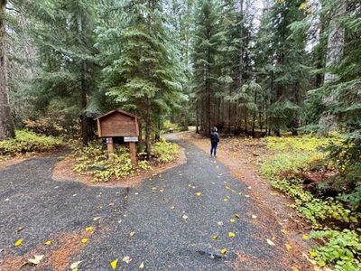
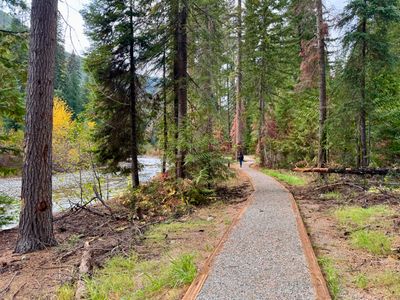
The trail begins as a loop, and we opted to hike along the river going counter-clockwise, as we weren't sure we would do the entire trail. In hindsight, I would probably go clockwise and save the walk along the river for the second half. This section of the trail was well maintained with a wide gravel path that paralleled the river. While the weather had deteriorated since the morning, at least it wasn't raining.
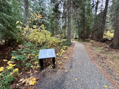
Hiking along the trail, we had some nice views of the river. It looked like there might have been some wooden viewing platform on the riverbank at one point, as we saw a bunch of pressure treated lumber stacked up. While it's a nice stroll along the river, it wasn't as cool as the hike along the Mad River we had just done.
We read the signs along the way, with lots of information about the surrounding ecosystem. There were some benches in various spots, and it certainly would be a nice place to rest and enjoy the sights and sounds of the river on a nice summer day. The trail forked, which turned out to be the continuation of the loop, but we kept walking along the river, eventually reaching a sign which marked the end of the trail.
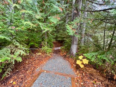
We followed the path back and turned right to continue along the loop. This section of the trail was paved as it proceeded through the forest, with more interpretive signs sprinkled along the trail. We thought we felt a couple of raindrops along the way, but thankfully no rain ever materialized as we finished up the hike.
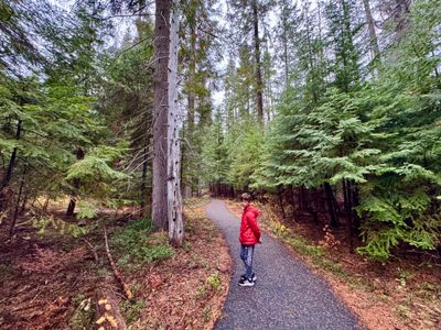
Back at the campsite, we got the fire going and enjoyed the rest of the night. It's a nice hike, one I would certainly recommend if staying at the campground. However, it's not a hike I would target if I was just coming for the day, as parking is a bit far away, and the nearby Silver Falls trail is definitely a lot more impressive.
